Comprehensive surveying, engineering and geospatial solutions delivered with precision, innovation and reliability.
Gaos Kinematic Concept Limited provides a broad range of professional services covering surveying, geospatial intelligence, civil and highway engineering, construction, hydrographic and geotechnical works. Our services are delivered using modern equipment, industry-standard software and internationally accepted methodologies.

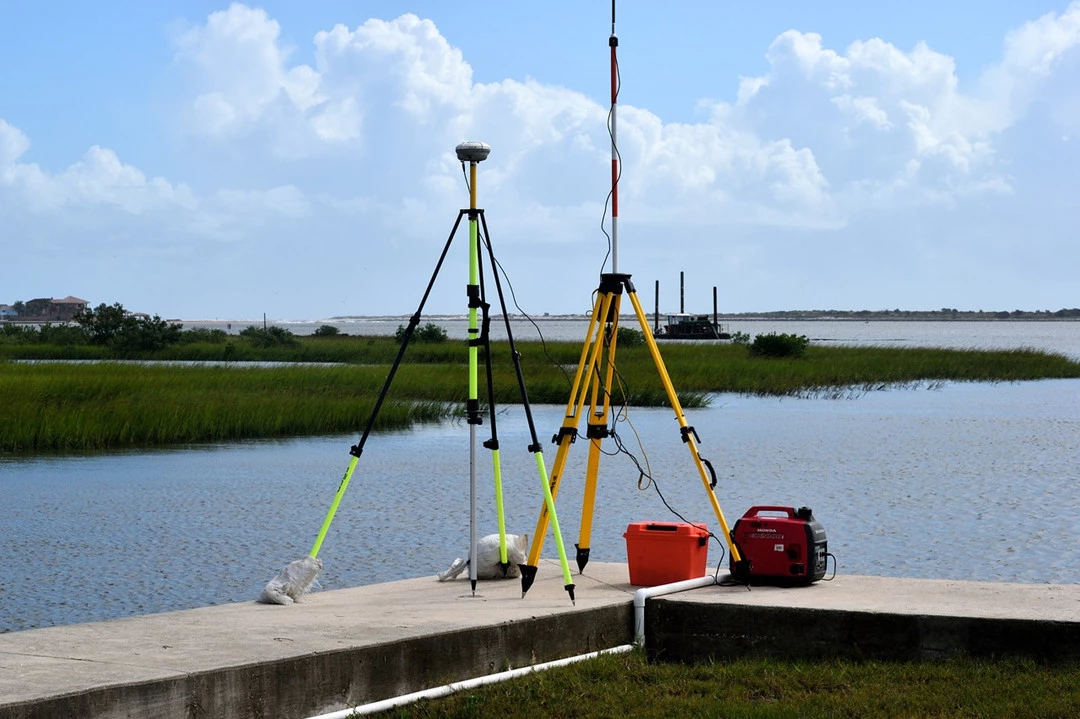
Cadastral, engineering, route, pipeline, deformation, dam-site and topographic surveys using high-precision instruments.
Drone Mapping, GIS database development, land information systems, spatial analysis and map production from satellite imagery and aerial data.
Bathymetric surveys, offshore positioning and marine data acquisition for coastal and offshore engineering projects.

Planning, design and execution of civil engineering infrastructure projects in compliance with safety and regulatory standards.

Highway alignment surveys, geometric design, pavement works, drainage systems and construction supervision.
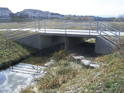
Design and construction of bridges, culverts, drains and other hydraulic control structures.
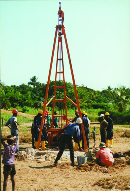
Subsoil investigations, foundation analysis, soil testing and geophysical surveys to support engineering design.
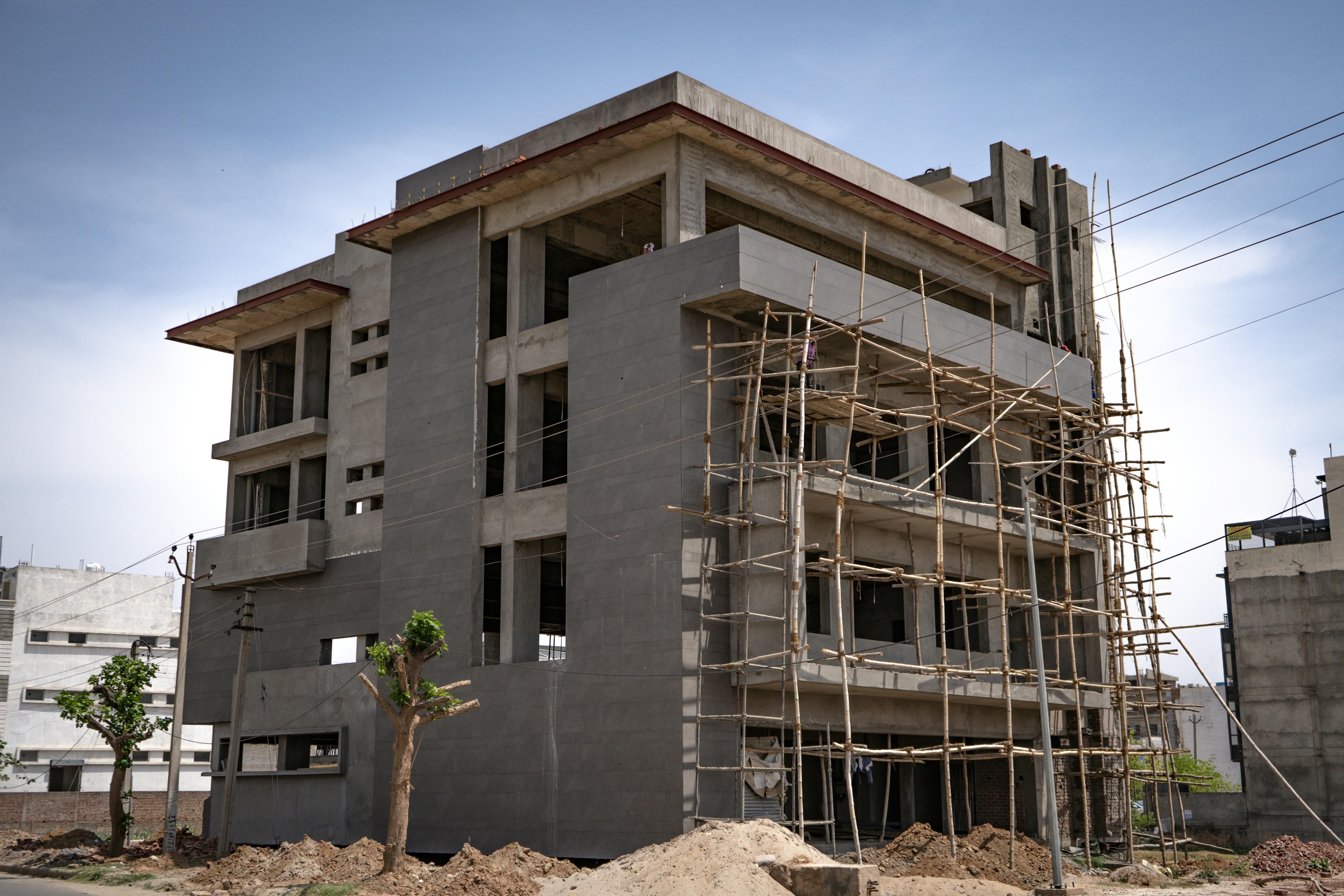
Construction of modern residential, commercial and industrial buildings with strict quality control.

Conversion of paper-based records and plans into digital formats for efficient land administration.
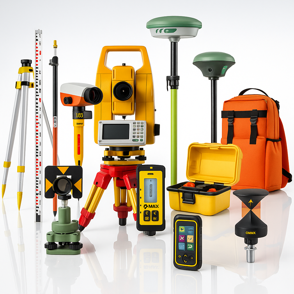
Procurement, installation and configuration of branded surveying hardware and geospatial software solutions.
Engage Gaos Kinematic Concept Limited for dependable surveying, engineering and geospatial consultancy services.
Request a Service